Since 1937, manufacturers nationwide have depended on Wingfield’s equipment and service for instant and accurate measurements.
Solutions
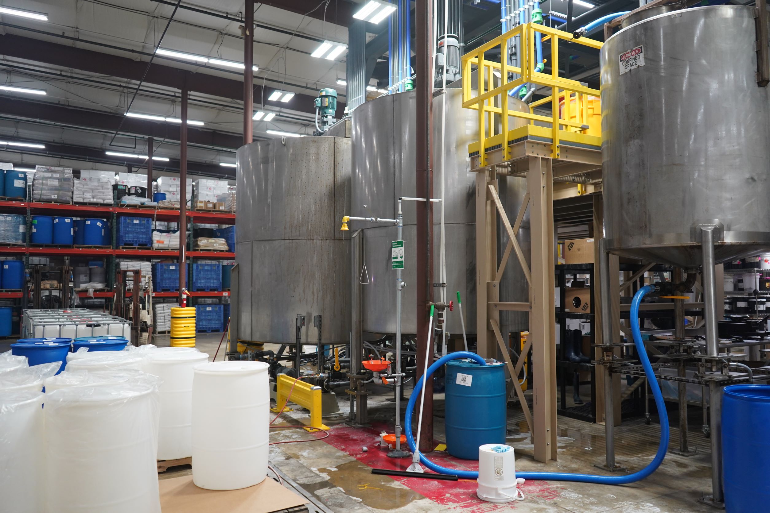
Wingfield provides the tools and expertise companies need to weigh, measure, and count at every stage of the manufacturing process.
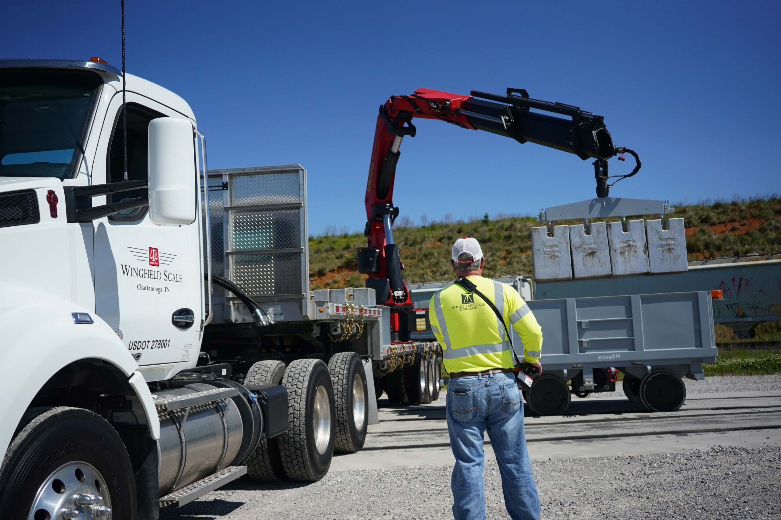
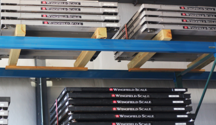
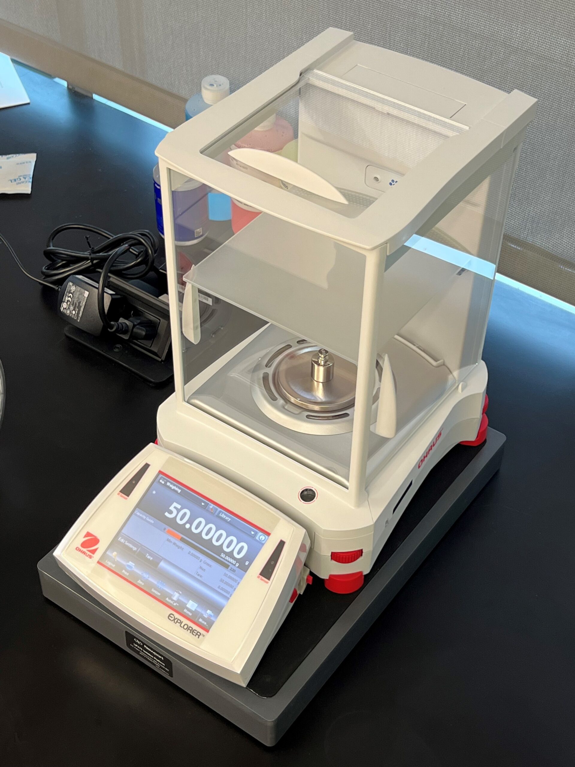
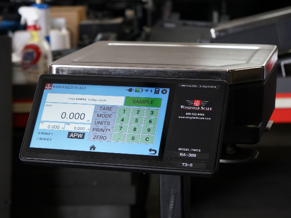
Scales
Wingfield provides manufacturers with scales for accurate measurements whether its raw materials or finished products
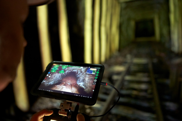
Map & Measure
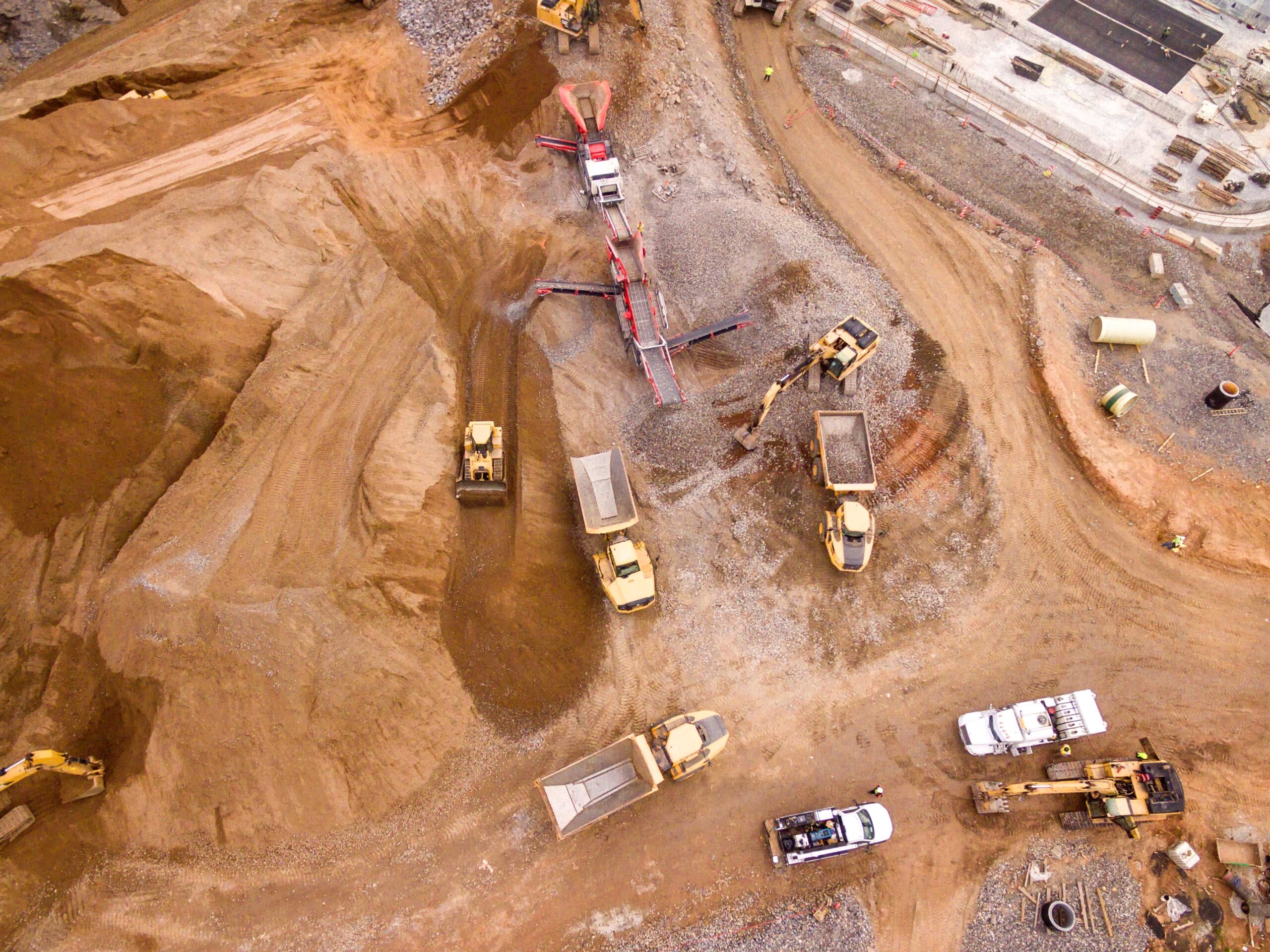
We offer innovative solutions enabling you to accurately measure and map your mine, plant, and facilities.
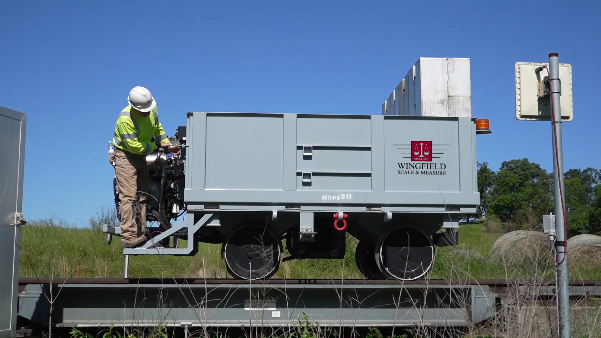
Rental
We have the largest fleet of rental scales in the country, engineered to provide accurate measurement for every context.
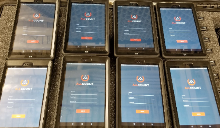
Inventory
Track your inventory faster and more accurately with Wingfield’s innovative tools designed for inventory management.
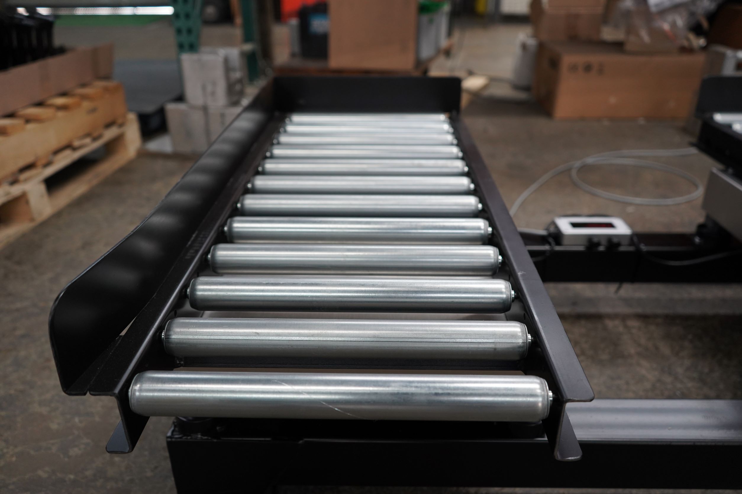
WingScan
Our volumetric load scanner provides you the ability to accurately and instantly measure materials in motion

Service & Calibration
Our certified technicians keep your equipment working so you can avoid disruptions in the manufacturing process.
Experience
Trusted by America’s leading manufacturers for over 87 years.


Industries
Wingfield serves companies at every point of the supply chain and manufacturing process, whether you are working with raw materials or a finished product.


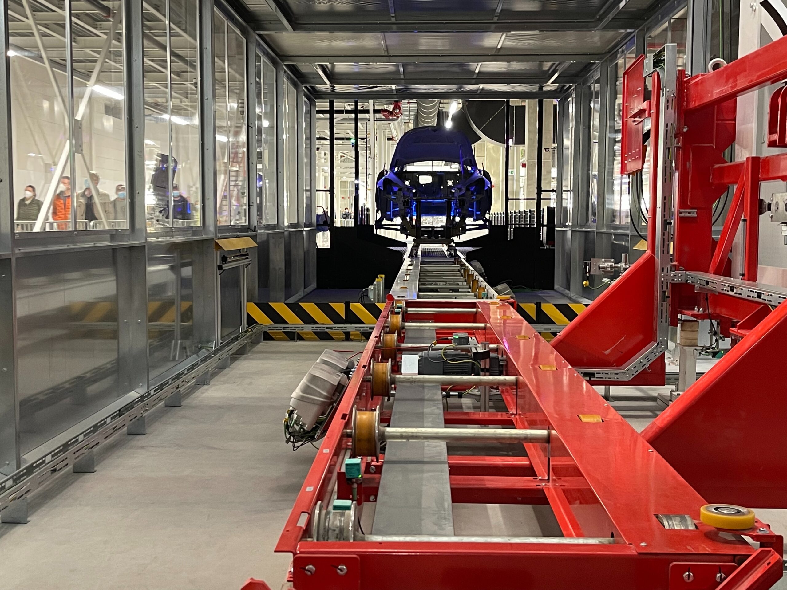
Automotive
Pharmaceutical
Food & Beverage
Waste & Scrap Recycling
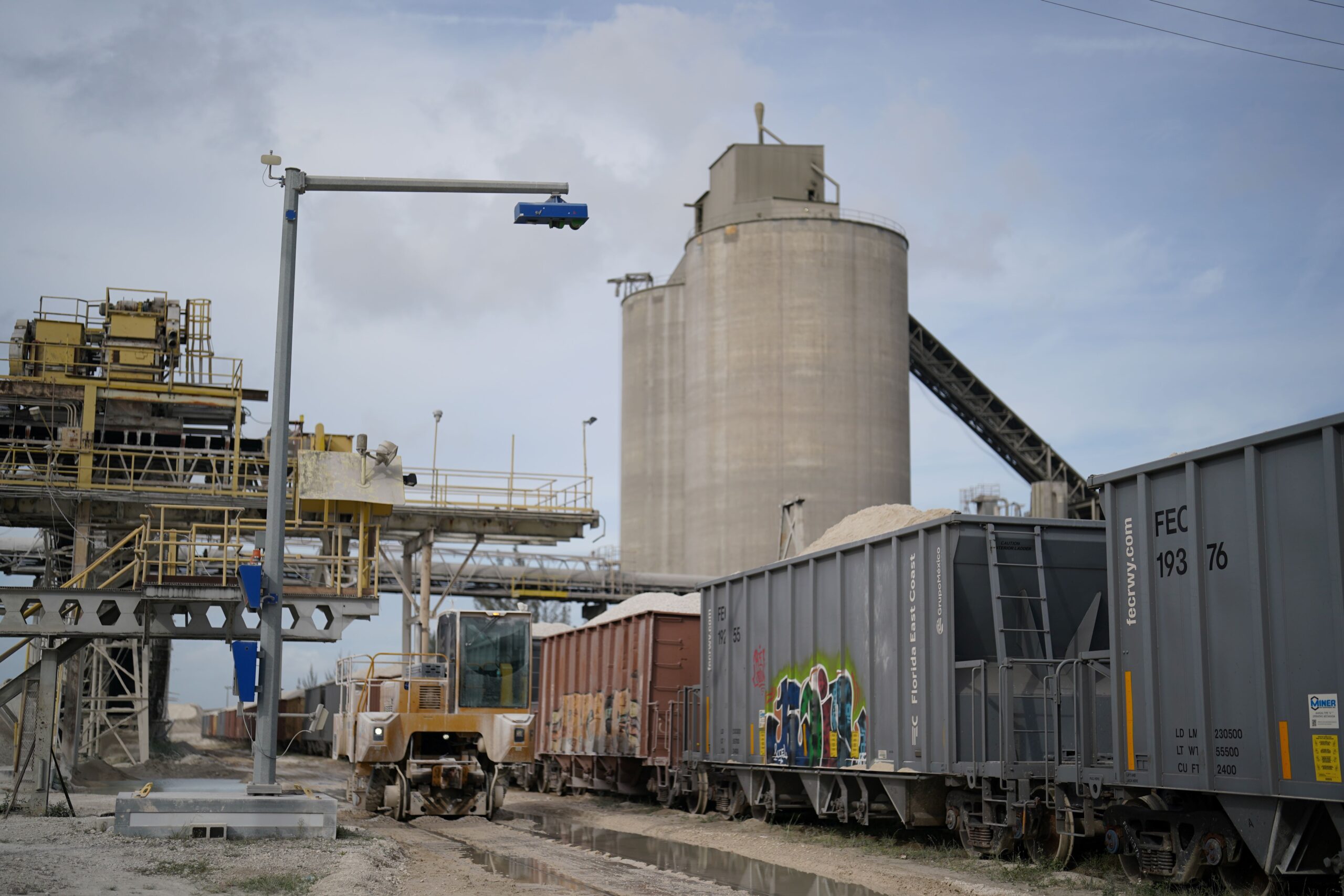
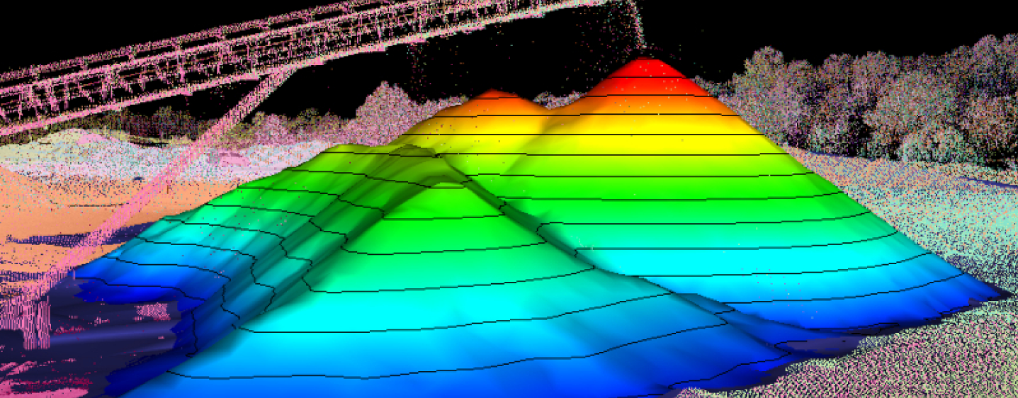
NEW VOLUME LOAD SCANNER
WingScan Advanced LiDAR Technology
WingScan products have been developed to track bulk material via conveyor belt, truck, or railcar. These LiDAR load scanners provide real-time remote material monitoring utilizing a single control via secure, intuitive interface options.
Wingfield on the Road
Here are trade shows and events we are attending. Please let us know if you will be there as well so that we may connect with you.
-
Geo Week 2024
February 11-13, 2024
Denver, CO
-
Georgia Construction Aggregates Association (GCAA)
February 20-22, 2024
Atlanta, GA
-
MINEXCHANGE 2024 SME Annual Conference & Expo
February 25-28, 2024
Phoenix, AZ
-
AGG 1
March 25-27, 2024
Nashville, TN
-
Commercial UAV Expo
September 3-5, 2024
Las Vegas, NV
-
Mine Expo International
September 24-26, 2024
Las Vegas, NV
-
Kentucky Crushed Stone
Date: TBD (early December)
Louisville, KY