Wingfield Scale provides industrial measurement solutions including truck scales, rail scales, volumetric load scanning, and LiDAR-based inventory and asset measurement systems.
Since 1937, we’ve helped operations improve accuracy, eliminate measurement errors, and gain better visibility.
Trusted For Measurement Accuracy Across North America


Customers Choose Wingfield for Accuracy. They Stay for the Support.


In another instance, I asked Wingfield to come out and service a small lab scale that was not functioning properly. They were prompt in their response and were able to repair the scale. I would highly recommend Wingfield Scale.
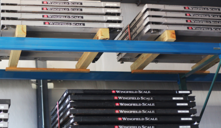
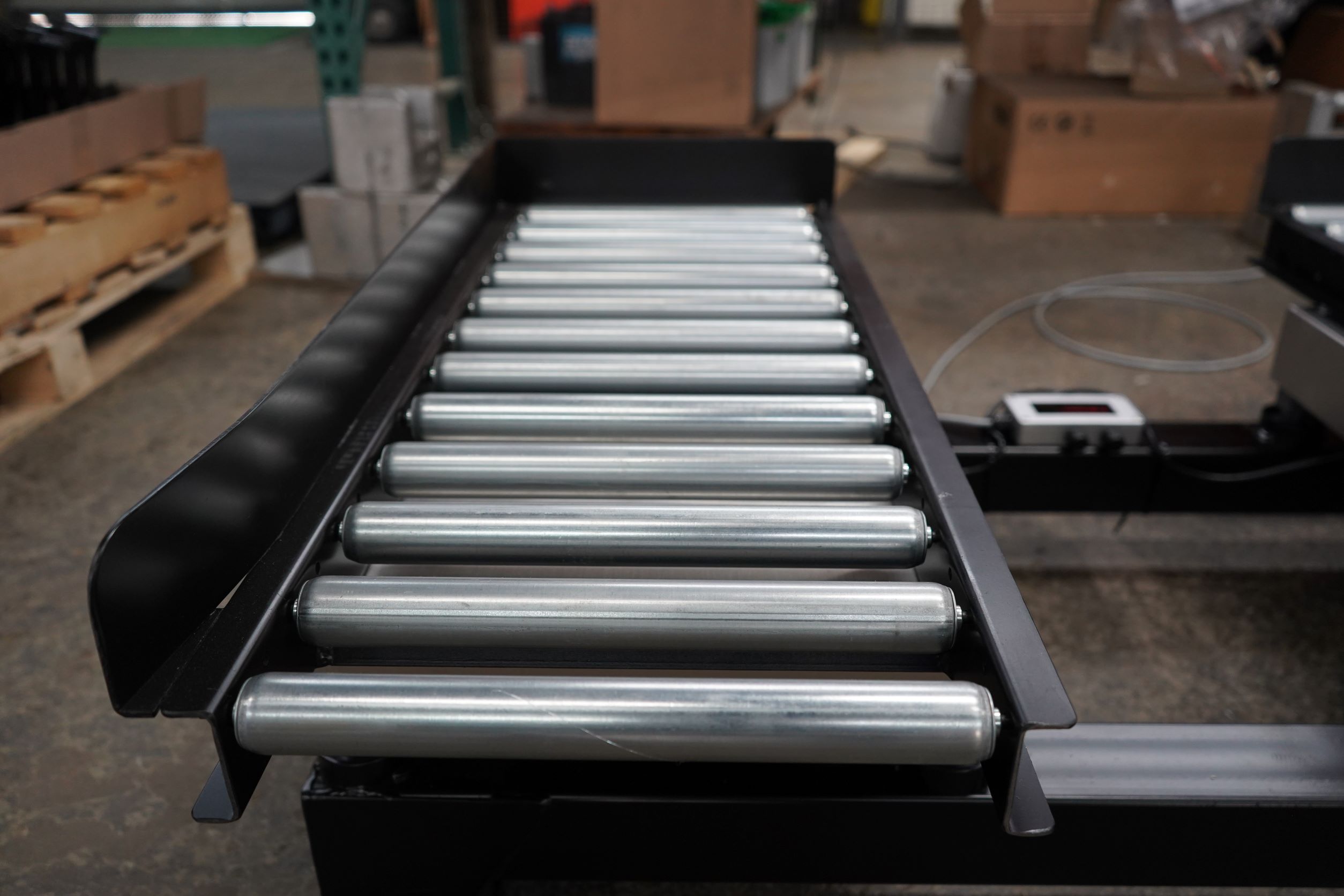
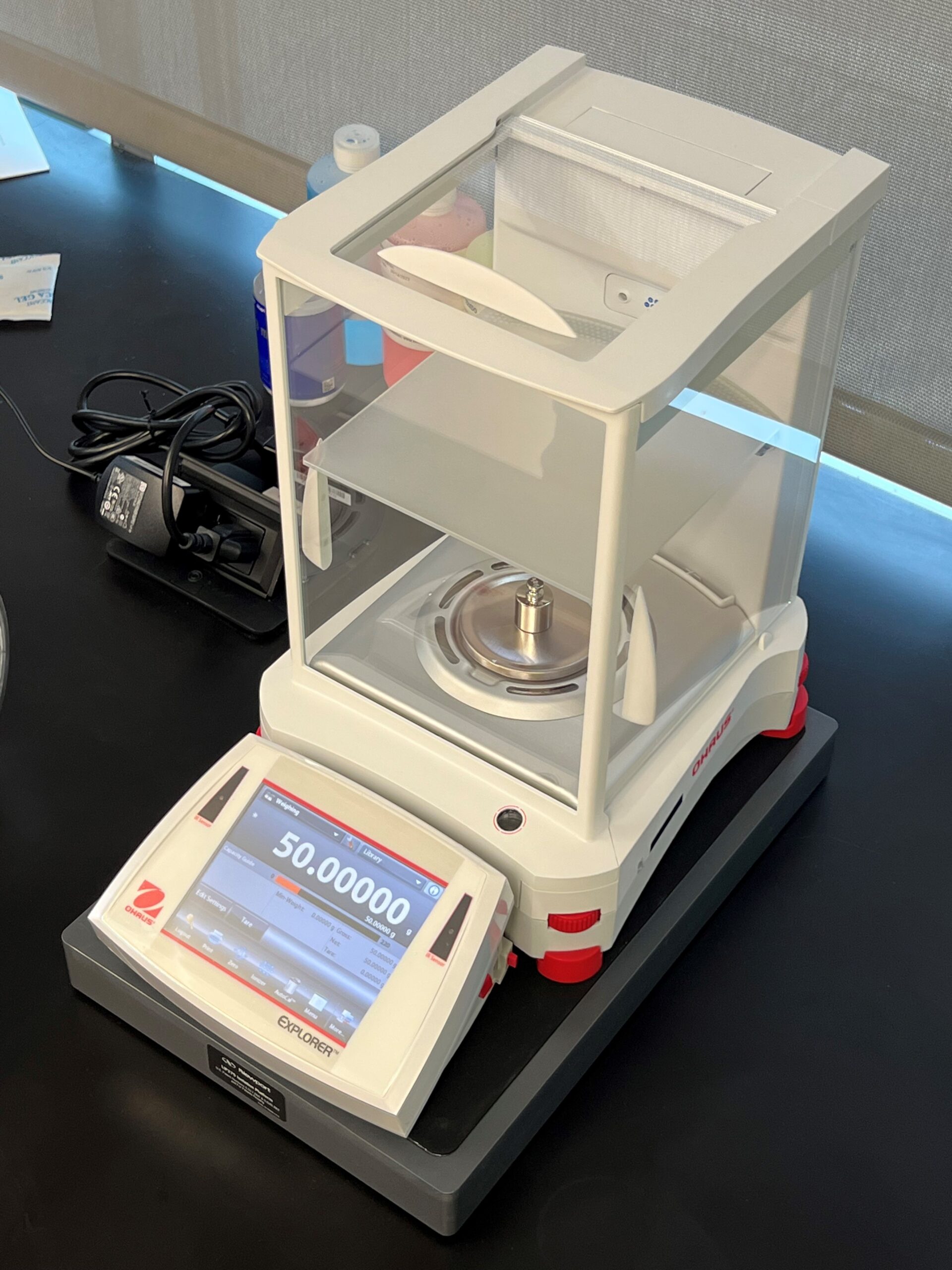
Scales
Wingfield provides manufacturers with scales for accurate measurements whether its raw materials or finished products

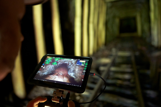
4DNA
4DNA is industrial asset inspection reimagined. Save your plant millions by catching what traditional asset inspections miss.
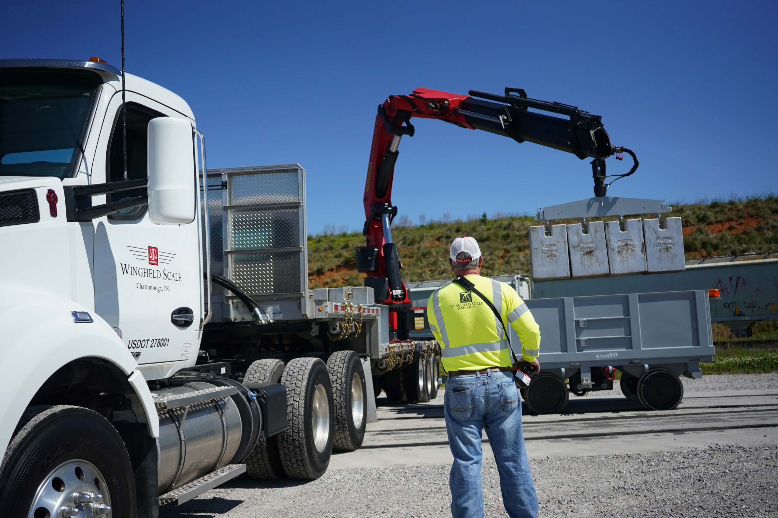
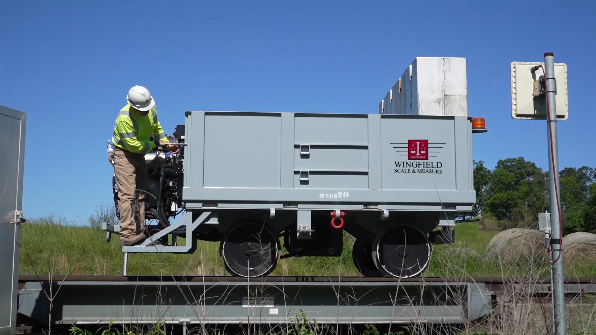
Scale Rentals
We have the largest fleet of scale rentals in the country, engineered to provide accurate measurement for every context.
Map & Measure
We offer innovative solutions enabling you to accurately measure and map your mine, plant, and facilities.
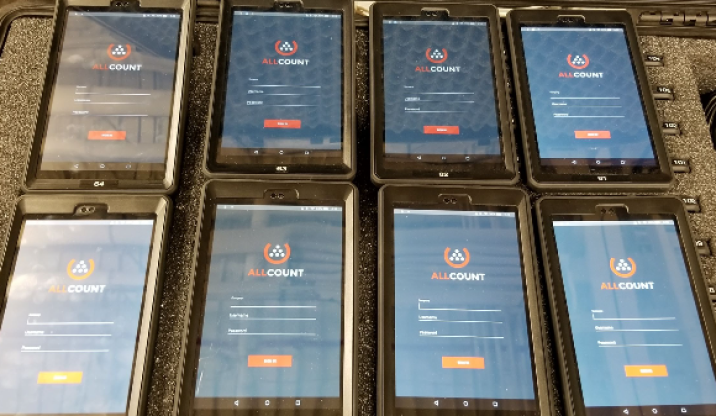
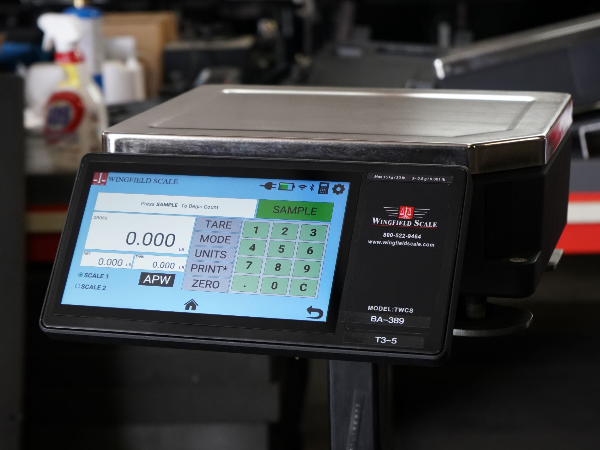
Inventory Scale
Track your inventory faster and more accurately with Wingfield’s innovative tools designed for inventory management.
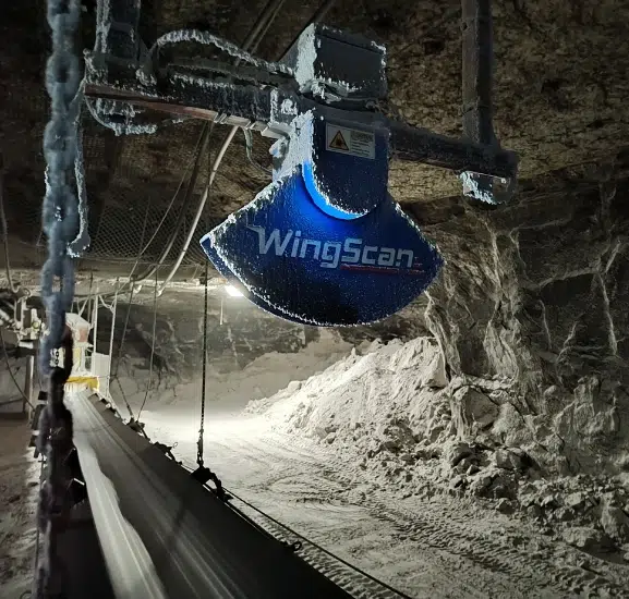
WingScan
Our volumetric load scanner provides you the ability to accurately and instantly measure materials in motion
Service & Calibration
Our certified technicians keep your equipment working so you can avoid disruptions in the manufacturing process.
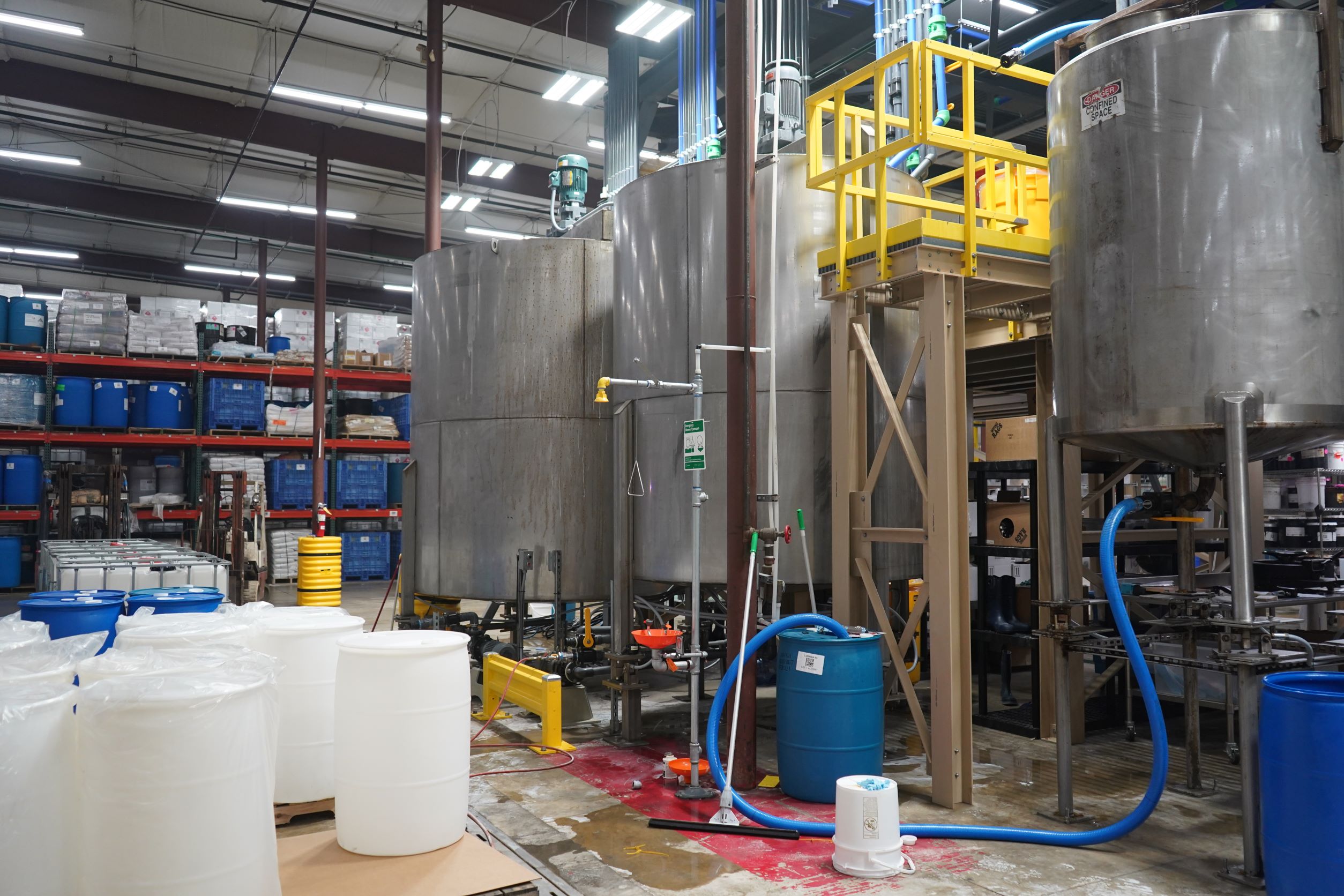
Industries
Wingfield serves companies at every point of the supply chain and manufacturing process, whether you are working with raw materials or a finished product.


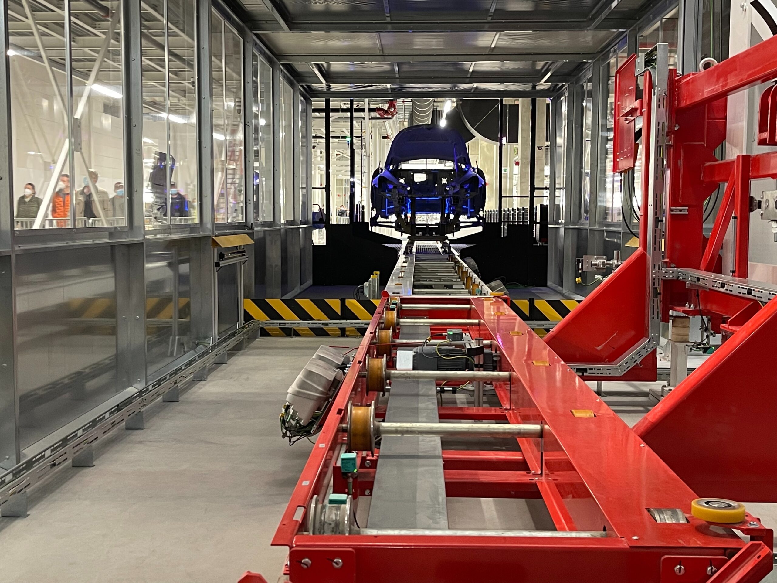
Automotive
Pharmaceutical
Food & Beverage
Waste & Scrap Recycling
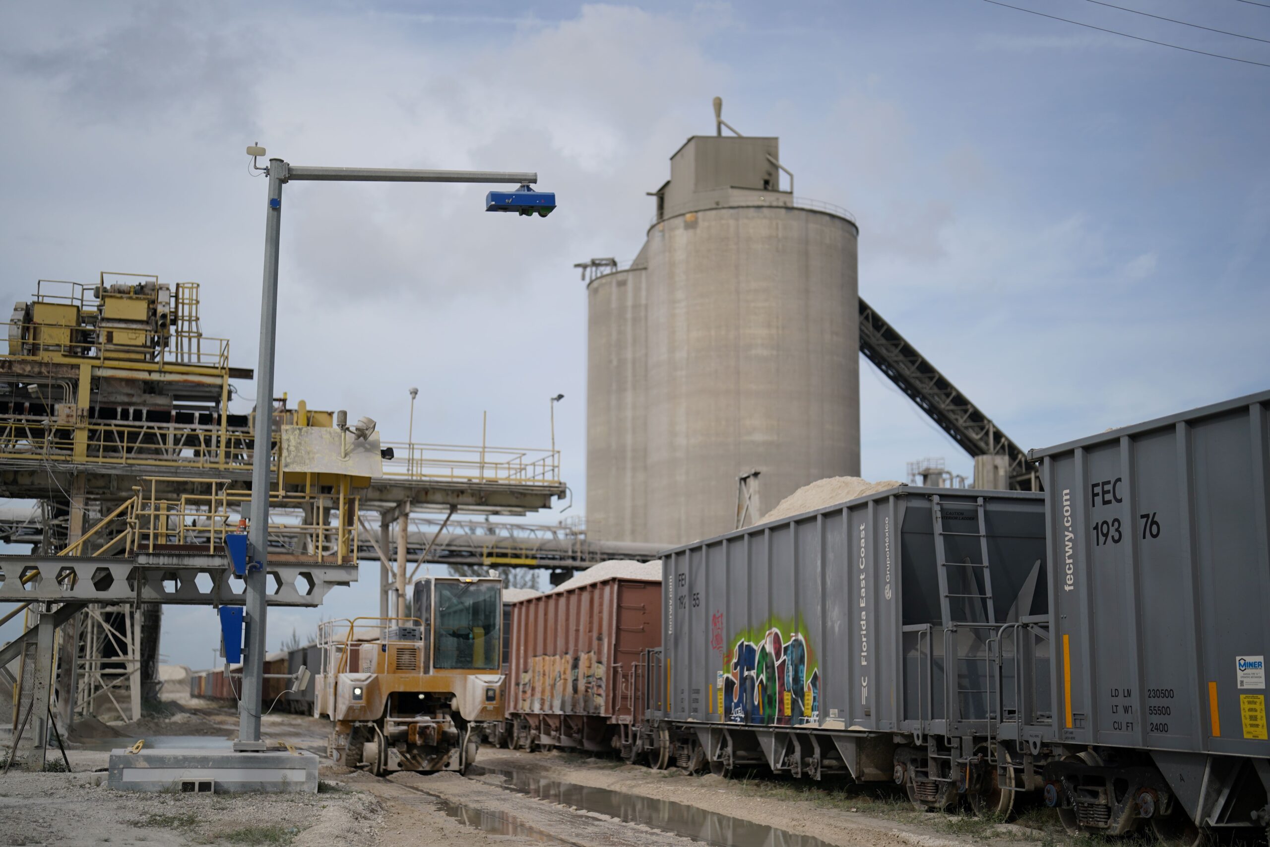
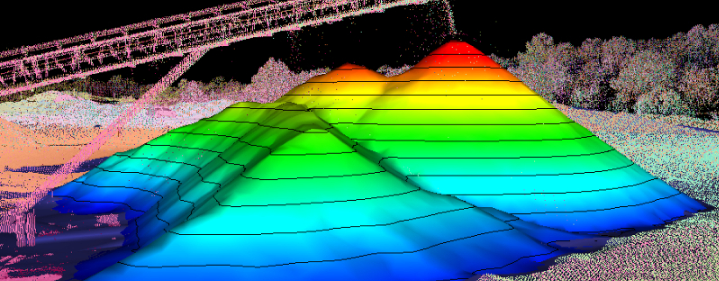
WingScan Loadscanner By Wingfield Scale
We developed our WingScan Load Scanner to track bulk material via conveyor belt, truck, or rail.
These scanners use advanced LiDAR to provide real-time material monitoring through volumetric-based scanning, so you can improve operational efficiency.
Why does Wingscan make a difference?
WingScan eliminates errors caused by manual weight-based measurements and ensures accurate inventory data every time (…without needing maintenance or constant calibration)
Wingfield Scale on the Road
Here are trade shows and events we are attending.
Please let us know if you will be there as well so that we may connect with you.
Why Meet Wingfield at These Events?
Don’t miss out on a special opportunity!
Here’s why meeting Wingfield at these industry events can change the game for your business:
-
Aluminum Association Meeting
April 22-24, 2026
Ceder Creek, TX
-
IEEE-IAS/ACA Cement Conference
April 26-30, 2026
Fort Lauderdale, FL
-
The Aluminum Summit
June 1-4, 2026
Chicago, IL
-
East Coast Cement Conference
October 1-2, 2026
TBD