Category
LiDAR
-
07/07/2022Point Cloud Data of Collapsed Inaccessible TunnelAutonomous Drone LiDAR UAVThis point cloud data was captured using Autonomous UAV LiDAR to be used for rehabilitation project analysis in a partially collapsed rail tunnel.
-
07/07/2022Factories and ForgesLiDAR Structural ScanningFactories built years ago have undergone many changes and upgrades, documenting these changes, and checking clearances for new equipment can save time and money by having a digital model to reference and measure.
-
07/07/2022Structure SilosLiDAR Structural Scanning SurfacePlanning on expanding existing structures, reroute conduits and piping? Have the facility scanned to better plan and prepare for a quick project, silos were scanned at this facility from the ground level and the upper level to ensure proper planning.
-
07/07/2022Clearance Checks ExamplesLiDAR Structural Scanning SurfaceBringing in new equipment or moving a large piece through a facility. We can help with clearance checks by scanning the structures in the surrounding areas. Data can later be used for additional checks and reference for other projects.
-
07/07/2022Forge/Factory ExampleLiDAR Structural ScanningNo time to stop production, no problem. Data can be captured as production is happening is most situations, dynamic LiDAR speeds up the data capture process immensely.
-
07/07/2022Underground Crane ExampleLiDAR Structural Scanning UndergroundPlanning upgrades for underground but need to be sending information to contractors on placement of equipment or measurements? Digital twins allow you take measurements in software and avoid the cage ride to check on a measurement.
-
07/07/2022Hoist House ExampleLiDAR Structural ScanningDocumenting the locations of equipment and the placement of new equipment can make projects faster and more efficient when it is checked and planned digitally.
-
07/07/2022Headframe Structural ExampleLiDAR Mineshaft Structural ScanningIf a structure is being rehabbed or being upgraded and there is limited access on a daily basis. Scanning the structure can be valuable for contractors to check measurements without going to site or stopping production.
-
07/07/2022Mill Building ExampleLiDAR Structural ScanningScanning large structures that have been in place for years with little to no documentation is ideal to digitally see and take measurements.
-
07/07/2022Large Pillars and Change DetectionChange Detection LiDAR Room and Pillar UndergroundLarge underground mines with high roofs or backs can be challenging to check for changes or movement. The LiDAR systems used by Wingfield can scan to a range of 600 meters underground and provide real data that can be compared overtime to track movement.
-
07/07/2022Shaft Scanning with Timber SetsLiDAR Mineshaft UndergroundPoint cloud data captured in one hour on a two-compartment 2,000ft timber lined shaft. Data is used for rehabbing, documentation, change detection, and scoping purposes for other contractors.
-
07/07/2022Underground Maintenance Shop ExampleLiDAR Structural Scanning UndergroundA processed and scanned underground maintenance shop that was being measured for dimensions and clearance checks for new and existing equipment.
-
07/07/2022Underground Room and Pillar ExampleLiDAR Room and Pillar UndergroundA sample of a room and pillar point cloud and rendered surface used for volumetric calculation, as-built vs design, convergence, mine design updates, and more!
-
07/07/2022Autonomous UAV LiDAR ScanningAutonomous Drone LiDAR UAV UndergroundThis UAV can be manually or autonomously flown to map areas that are inaccessible or lack the structural integrity for safe entry. It is commonly used for stopes and voids, failing and older or abandoned working areas, and for basic inspection.
-
07/07/2022Underground Structure ScanningLiDAR Structural Scanning UndergroundWith the ability to scan and map with high resolution gives Wingfield expertise in structure scanning not only on the surface but underground. Making upgrades to structures or creating blueprints that can be accessed anywhere saves time and money.
-
07/07/2022Mine Shaft ScanningLiDAR Mineshaft UndergroundShaft scanning has been used for rehab, repairs, change detection, and historical mapping. The ability to mount our dynamic LiDAR system to a cage and map shafts effectively, safely, and quickly means lower amounts of downtime in hoist operations.
-
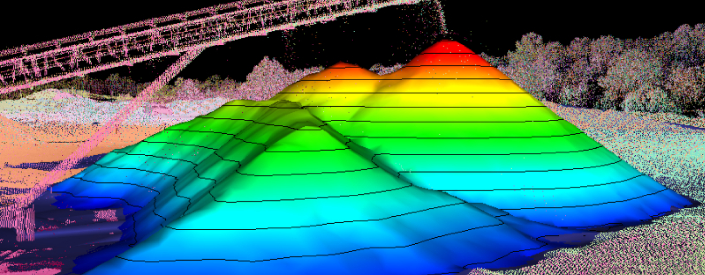
07/07/2022Stockpile Surface ExampleInventories LiDAR Stockpile Surface UAVA stockpile yard at a port scanned and processed, the rendered surfaces ready for volumetric modeling. Point cloud data can be created from UAV / Drone and combined with LiDAR data.
-
07/07/2022Room and Pillar ScanningLiDAR Room and Pillar UndergroundUsing static and dynamic LiDAR systems we are able to map, measure, and track room and pillar progress. LiDAR and processing data allows for enhanced visualization of areas of interest and more precise volumetrics.
-
07/07/2022Stockpile Yard ExampleInventories LiDAR Stockpile Surface UAVPoint clouds from LiDAR and rendered surfaces used for volume calculation. If the site has tunnels and feeders these can be modeled to provide more exact volume measurements as the stockpiles change over time.
-
07/07/2022Shed / Barn Stockpile ExampleInventories LiDAR Shed Stockpile SurfaceMaterial storage enclosure scanned and processed, every material shed or barn presents a unique survey challenge. Custom structural surfaces can be modeled in these areas allowing consistent, repeatable measurements with each measurement.
-
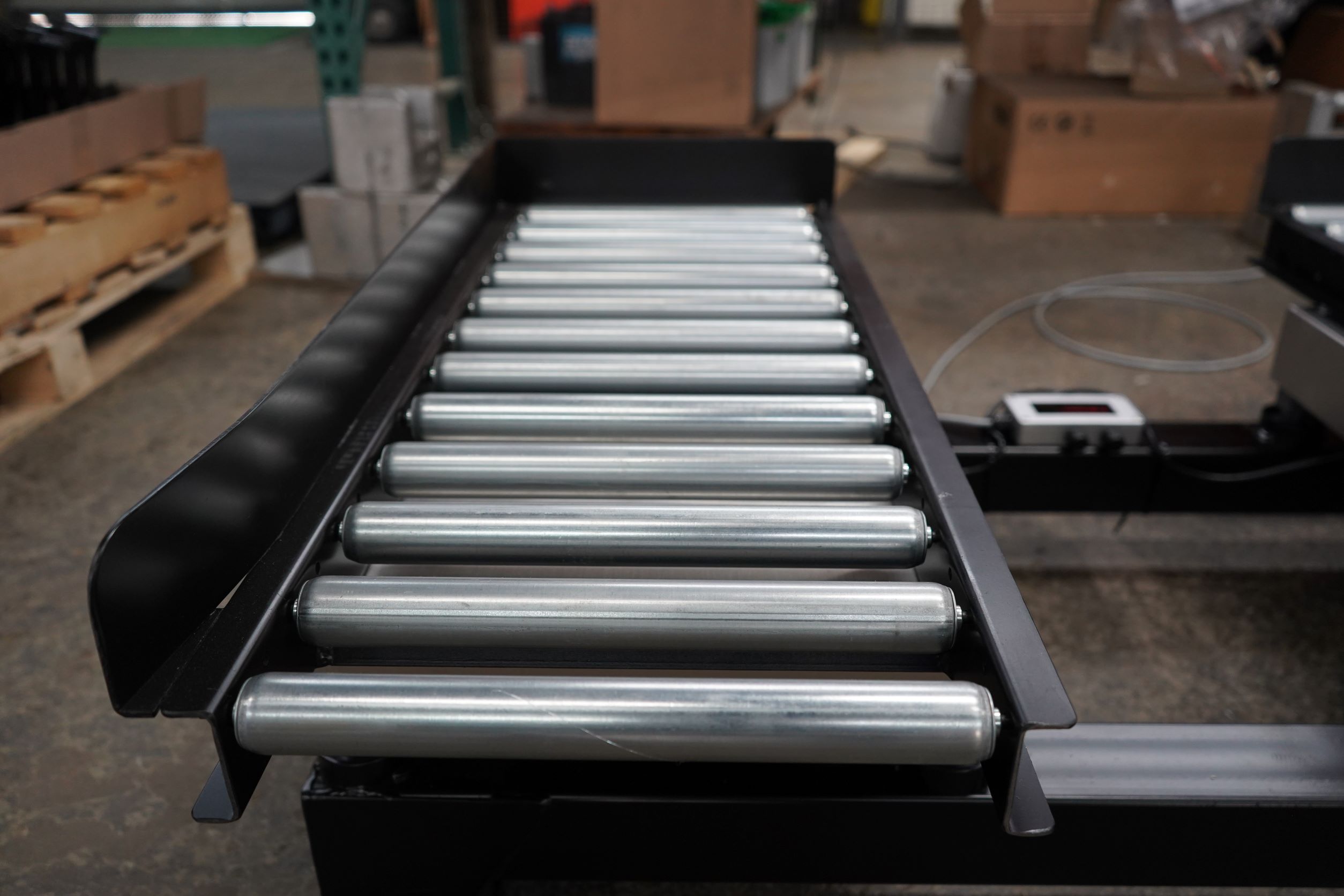
02/21/2021Introducing WingScan-BCustom Solution Inventory Management LASE LiDAR Map and Measure Mining Surface Underground Volumetrics WingScan WingScan BThe premier maintenance-free solution that delivers real-time volume and mass flows on each conveyor belt. Connect, monitor and command each system via secure and intuitive controls on mobile or desktop, or easily connect to a variety of PLC systems.
-
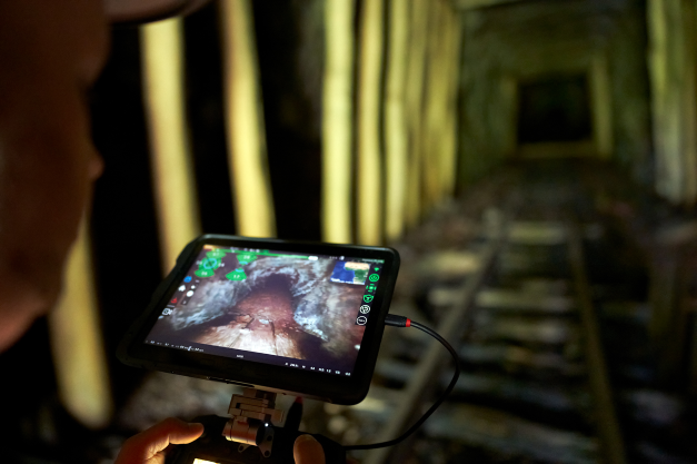
06/14/2022Autonomous LiDAR UAV/DroneAutonomous Drone LiDAR UAV UndergroundUsing our Autonomous UAV/Drone to examine abandoned mine travel-ways allowed our client to understand and mitigate hazard before exposing men and machines. The video-LiDAR displayed critical, otherwise inaccessible data available to decision makers.
-
06/14/2022Liberty Aviation Museum - Ford Tri-Motor LiDAR ScanAviation LiDAR Scanning Structural ScanningDynamic LiDAR scanning of the Ford Tri-Motor Aircraft at Liberty Aviation Museum.
-
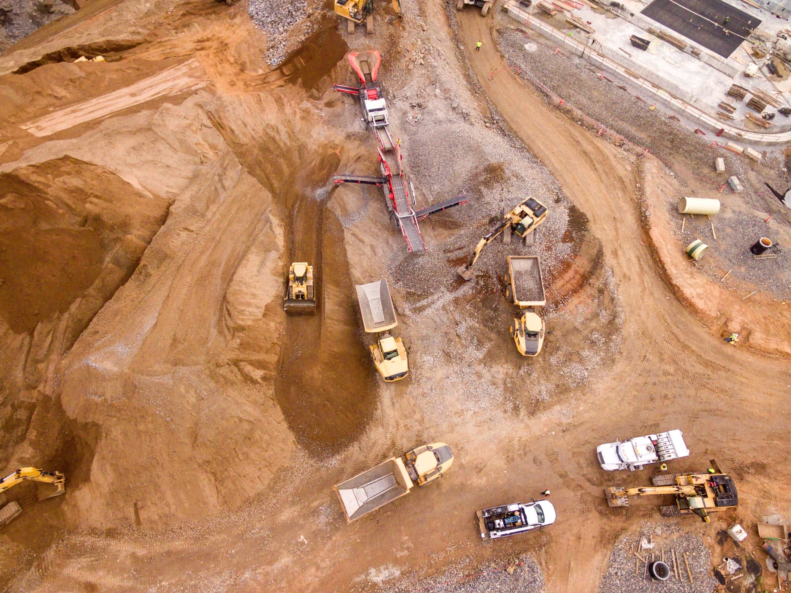
06/14/2022Professional LiDAR ScanningLiDAR Mining Scanning Surface UndergroundThe ability to use various LiDAR and UAV technologies in the field allows us to rapidly capture data in adverse conditions while maintaining timelines for quarry updates or stockpile inventories.
Curious to know more about LiDAR? Partner with us today!